Run your city on a digital twin
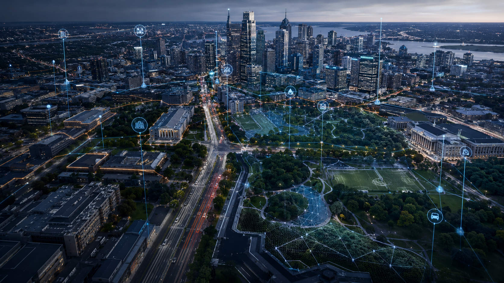
Real-time urban data intelligence at the intersection of satellite, drone and AI. From unpermitted construction to disaster response, from traffic to green space — the whole city on one platform, managed proactively.
 SAKARYA · 40.7°N 30.4°E
The entire city on one command screen
Every data point from all six modules converges on a single decision screen. Zoning, transport, disaster, environment and security layers share the same map; teams see the same reality and decisions are grounded in data.
- +Live layer switching and on-map analysis
- +Role-based permissions and unit dispatch
- +Incident → task → resolution flow in one panel
- +Time-stamped archive and change comparison
Six modules, one data layer
Each module is a layer of the same map. Data produced in one layer feeds the next — the city is managed on a single shared reality.
Zoning Compliance
- +Unpermitted construction detection — daily/weekly scans
- +Permit vs. as-built structure comparison
- +Parcel-level change history archive
- +Cadastre / land registry database integration
Transport & Traffic
- +Intersection congestion map (live)
- +Road deformation and pothole detection
- +Public transit route optimization
- +Pedestrian density analysis
Disaster Management
- +Post-earthquake damage classification
- +Evacuation route analysis
- +Landslide / flood risk mapping
- +Debris and obstacle mapping
Environment & Parks
- +Green space monitoring and change tracking
- +Vegetation health analysis with NDVI
- +Wildfire risk scoring
- +Water body quality monitoring
Smart Security
- +Thermal + RGB camera patrol
- +Night-vision autonomous surveillance
- +Suspicious vehicle / person tracking
- +Instant alerts + control center integration
Digital Twin
- +A 3D digital replica of the city
- +Scenario simulation (buildings, roads, infrastructure)
- +Infrastructure planning via BIM integration
- +A central data layer for every module
Pilot-free, uninterrupted city scanning
The drone launches automatically from its on-site dock, completes the mission, returns and recharges. Zero human intervention — 24/7, at the same accuracy.
- +Autonomous launch–land–charge cycle
- +Real-time data streaming over 5G
- +Operation from −20°C to +50°C
- +BVLOS (beyond visual line of sight) compliant
- +City-wide coverage with a multi-dock network
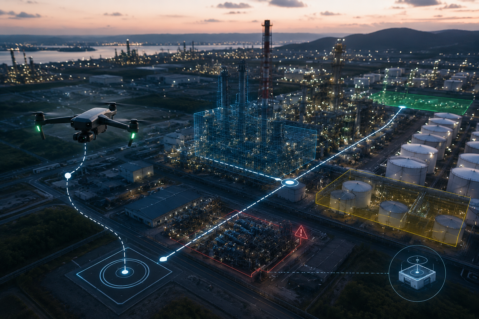 AUTONOMOUS DOCK · 24/7
- 0.5 cm
- Pixel resolution
- ±1 cm
- RTK accuracy
- 5 km
- Flight range
- 24/7
- Operation
- IP55
- Protection class
- 5G
- Connectivity
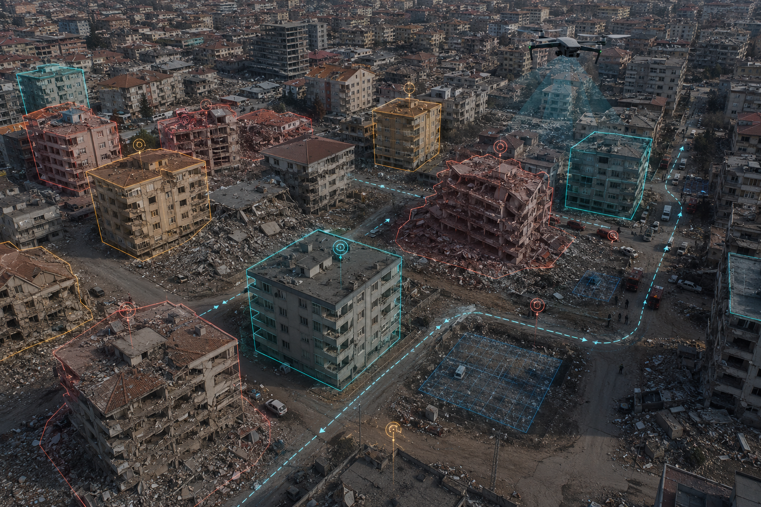 KİLİS · FEBRUARY 2023
Kilis — post-disaster damage assessment
After the 2023 earthquake, 1,200 structures in Kilis were classified in 72 hours with an AI-assisted drone scan. What takes three weeks by conventional methods was completed in three days.
- 1,200
- Structures scanned
- 72 hours
- Time to complete
- 94%
- Classification accuracy
- 7×
- Faster than conventional
Damage classification
Heavy, moderate and light damage as well as intact structures were automatically categorized with AI.
Evacuation routing
Debris blockage points were identified to determine the fastest routes for emergency services.
Digital archive
Georeferenced before/after imagery of every structure was captured in a permanent digital archive.
Measurable results
Area a single pilot covers with a drone.
Analysis completed in hours instead of days.
Additional revenue from detected unpermitted construction.
Speed for critical decisions in the first 72 hours.
Four models to fit your organization
Choose the scope that fits your needs and operational scale.
Pilot Project
A verifiable initial engagement on a limited site, process or channel.
Managed Operation
Vechür runs the entire data collection, analysis, operations and reporting cycle.
Enterprise Integration
Vechür products integrate with your CRM, ERP, GIS, booking and in-house systems.
Platform Access
We set up the infrastructure your team uses continuously via web, mobile or dashboard.
Scope and pricing are tailored to your organization.
Let's
Work Together
Share your project and needs, and we'll offer you a tailored solution.