Professional drone survey and site analysis in Sakarya and surrounding provinces
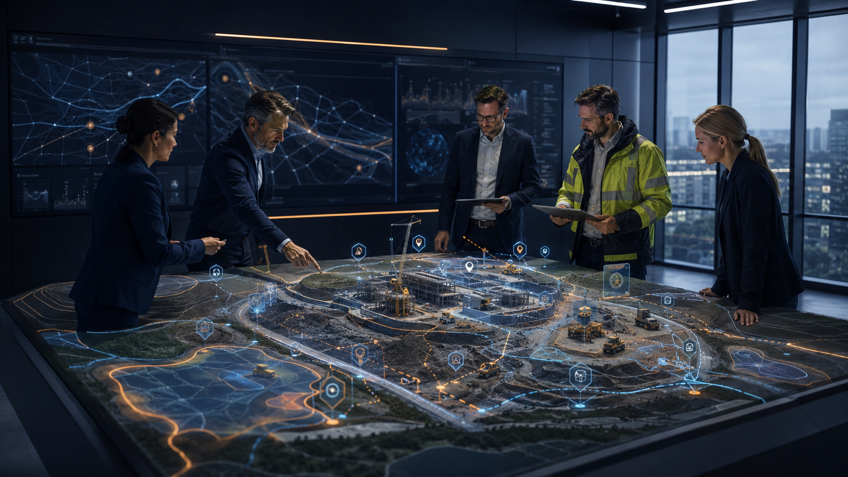
From construction sites to quarries, from rooftops to damage scenes: planned drone flights, photogrammetry and GeoAI turn your site into measurable, georeferenced and comparable data. Not footage — decision data.
Based in Sakarya, project-based operations in surrounding provinces
Our operations centre is Sakarya Technopark. We run regular projects in the provinces below and evaluate other locations on a project basis.
- +Scoping and quotation start remotely
- +Flight crew and equipment deploy from Sakarya
- +One contract for multi-site and periodic projects
Five field services, one measurement backbone
All of them run through the same chain: planned flight → photogrammetric processing → surface model / orthophoto → analysis → georeferenced delivery. What changes is the question the site asks.
Construction & Site Analysis
PhotogrammetryUp-to-date orthophoto and surface model of the site from planned periodic flights; progress and cut-fill tracking from a single dataset.
- +Periodic progress orthophoto
- +Cut-fill and earthwork volume
- +Digital surface model (DSM / DTM)
- +Georeferenced output for progress payments and reporting
Mine, Quarry & Stockpile Volume
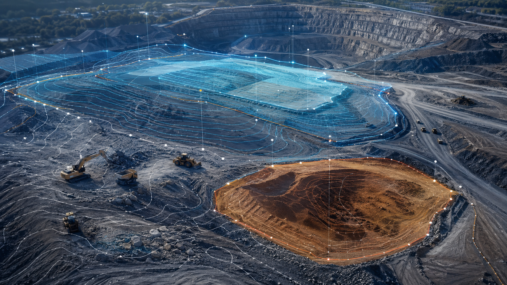
Topography & VolumeOur existing Topography & Volume technology applied to quarry and stockyard sites: volume between two surfaces or boundaries, periodic cubature.
- +Stockpile volume and periodic cubature
- +Excavation, fill and surface change tracking
- +Topographic model of the quarry site
- +Aggregate and crushed-stone stock counts
Building, Roof & Industrial Site Visual Inspection
Visual RecordHigh-resolution, georeferenced imaging of hard-to-reach roofs, facades and plant surfaces; marking of visual indications.
- +Roof and facade surface imaging
- +Marking of visual indications such as cracks and surface deterioration
- +Documentation of hard-to-reach areas
- +Change comparison between different dates
The output is a visual inspection; structural assessment belongs to the relevant engineering discipline.
GeoAI & Visual Detection productInsurance & Damage Documentation
Before / AfterSystematic, dated and georeferenced recording of the site after damage; mapping of damage indications and, where possible, before/after comparison.
- +Georeferenced visual record (date · coordinates · image no.)
- +Areas with damage indications marked on the map
- +Before / after change comparison
- +Technical data package for loss-adjustment teams
Output produced by Vechür constitutes field observation, spatial analysis and technical documentation. The final insurance assessment and valuation of damage are carried out by the relevant authorised expert or institution.
Field record: Kilis damage assessmentProfessional Drone Data Acquisition
Flight & Data OnlyFor teams with their own analysis software: planned site flight, calibrated data acquisition and delivery of raw or processed data — the analysis stays with you.
- +Mission-planned, repeatable flight
- +Raw image set and flight log
- +Orthophoto / point-cloud production on request
- +Delivery in the format your software needs
Six steps from scoping to delivery
Every project follows the same discipline; the accuracy target and delivery package are specified per project in the quotation after scoping.
Scoping
Clarifying the site, purpose and constraints; scoping and quotation.
Flight Planning
Mission geometry, overlap, altitude and reference points.
Data Acquisition
Planned flight; RTK-assisted positioning and image set.
Processing
Photogrammetric processing: orthophoto, point cloud, surface model.
Analysis
Volume, change, detection — according to the project's question.
Delivery
Report, map layer and data package; a web map where needed.
Every output georeferenced, every output comparable
The delivery package is defined by the project scope. From one-off documentation to periodic volume tracking, the same formats are used — so periods stay comparable with each other.
 TOPOGRAPHY · STOCKPILE VOLUME
Frequently asked questions
01Which provinces do you serve?+
Our operations centre is Sakarya. We run regular projects in Kocaeli, Düzce, Bolu, Istanbul, Yalova and Bursa. Provinces not on the list are evaluated according to the project scope.
02How is volume measured with a drone?+
High-overlap images collected on a planned flight are processed photogrammetrically; the difference between the resulting surface model and a reference surface (or the previous period) gives the volume. Because the accuracy target depends on flight altitude, reference points and site conditions, it is specified per project in the quotation.
03Can drone output be used for an insurance damage file?+
Vechür produces a dated and georeferenced visual record, a map of areas with damage indications and, where possible, a before/after comparison. This output provides technical data to the assessment process; the final assessment decision and valuation of damage are made by the relevant authorised expert or institution.
04What do you deliver?+
Depending on the project scope: orthophoto (GeoTIFF), point cloud, DSM/DTM, volume report (PDF), GeoJSON / map layer, 3D model, web map and a georeferenced photo archive. All outputs are georeferenced.
05We have our own analysis software — can we get flight and data only?+
Yes. We fly the mission-planned flight and deliver the raw image set and flight log; on request we also produce the orthophoto and point cloud in the format your software needs.
06What do we need to start a project?+
Site location, purpose (volume, progress, inspection, documentation), approximate area size and any previous-period data. After scoping, the scope, delivery package and accuracy target are finalised in the quotation.
Looking for project-based map, measurement and analysis output?
Skyvech works project by project for one-off spatial analysis and reporting needs: terrain maps, object detection, change analysis and dataset production.
Let's
Work Together
Share your project and needs, and we'll offer you a tailored solution.