
Turn Physical Space Into a Living Digital Model
Drone and satellite data captured from a site, facility, construction project or entire city becomes a digital twin you can measure, compare and run scenarios against. Decisions rest on data instead of field-level guesswork.
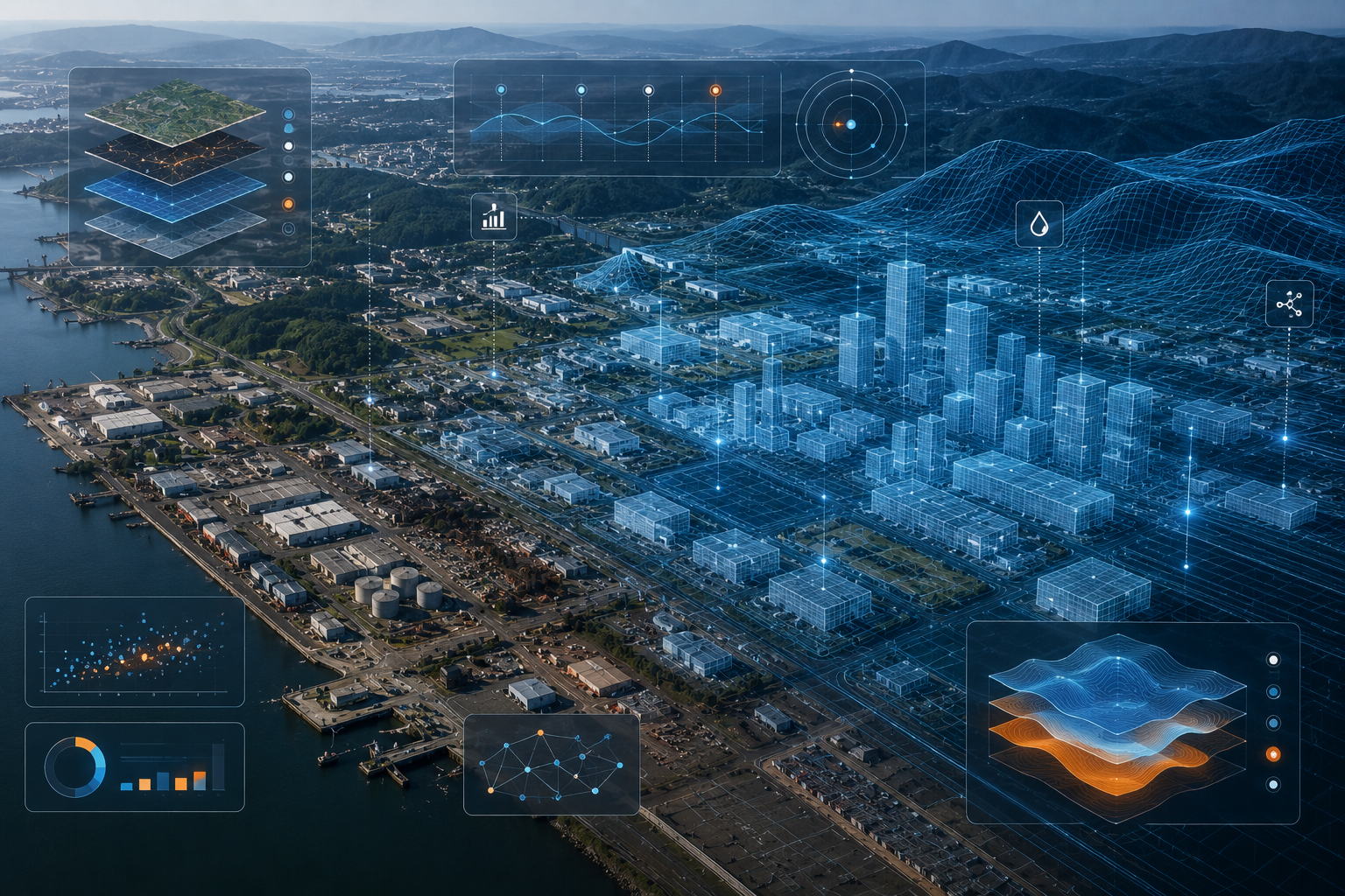 DIGITAL TWIN · 3D MESH + GIS
How Field Data Becomes a Digital Twin
- 01 / 04
Data Capture
Raw imagery and positioning data are collected from drone flights, satellite passes or fixed sensors.
- 02 / 04
Photogrammetry & Processing
Imagery runs through the software pipeline to produce point clouds, orthophotos and surface models.
- 03 / 04
3D Model & GIS
A high-resolution 3D model is generated and enriched with layers tied to geographic coordinates.
- 04 / 04
Digital Twin Platform
The model streams into a live platform where comparison, scenario simulation and BIM integration come online.
What You Can Do
Each module runs on its own or converges into a single integrated platform on one screen.
3D Model Generation
A detailed, true-to-scale 3D model of the site or structure.
- +Point cloud and mesh surface
- +Photorealistic textured model
- +Browser-viewable format
- +Built-in measurement tools
Live GIS Layers
Cadastre, infrastructure, road and zoning layers overlaid on the 3D model.
- +Standard WMS / WFS integration
- +On-map annotation and analysis
- +Spatial query and filtering
- +Exportable GeoJSON / Shapefile
Before / After Comparison
Compare models from specific dates side by side or overlaid.
- +Time-stamped archive models
- +Change-percentage calculation
- +Difference-map visualization
- +Time-series animation
BIM Integration
Compare architectural and engineering models against the real world.
- +IFC / Revit model compatibility
- +Plan vs. as-built deviation analysis
- +Progress approval and inspection
- +Infrastructure clash detection
Scenario Simulation
See a planned change in the digital environment before you build it.
- +Add / remove structure simulation
- +Shadow and solar analysis
- +Infrastructure route testing
- +Risk and view-impact assessment
Spatial Analysis
Spatial analytics based on area, distance, slope, aspect and elevation.
- +Area and volume calculation
- +Slope and aspect maps
- +Viewshed (visibility) analysis
- +Elevation profile extraction
Who Uses It
City-Wide Digital Twin
A digital replica of an entire city for zoning enforcement, infrastructure planning and disaster scenarios. Parcel-level data layers included.
Construction Time Series
Compare physical progress against the BIM plan with a 3D model refreshed every week. Catch deviations early.
Facility & Line Modeling
Plan power plant, pipeline or transmission-line corridors on a precise geographic model.