
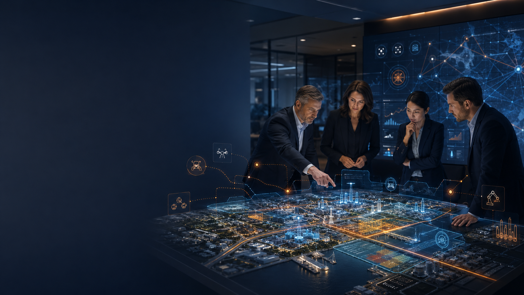
Physical World
& Operations,Managed by AI.
With satellite, drone, computer vision, digital twin and AI Agent technologies, it turns organizations' sites and operational workflows into measurable decision systems.
Product Architecture
Two Technology Lines. One Operational Intelligence.
Spatial Intelligence sees and measures the physical world. AI Agent receives and manages operational workflows. Together they close an organization's entire data loop.
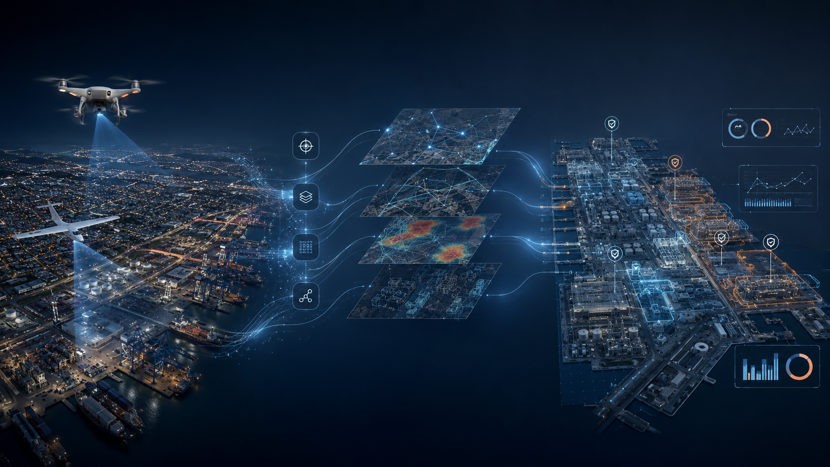 Data → Analysis → Decision
PRODUCT LINE 01
Spatial Intelligence
See, measure, monitor and decide on physical sites. From satellite to drone, from digital twin to GeoAI — it turns the field into a measurable intelligence layer.
- Satellite imagery and remote sensing
- Autonomous drone operations — 24/7
- Digital twin and 3D modeling
- Asset and change detection with GeoAI
- Topography, volume and orthophoto analysis
- Spatial reporting and decision layer
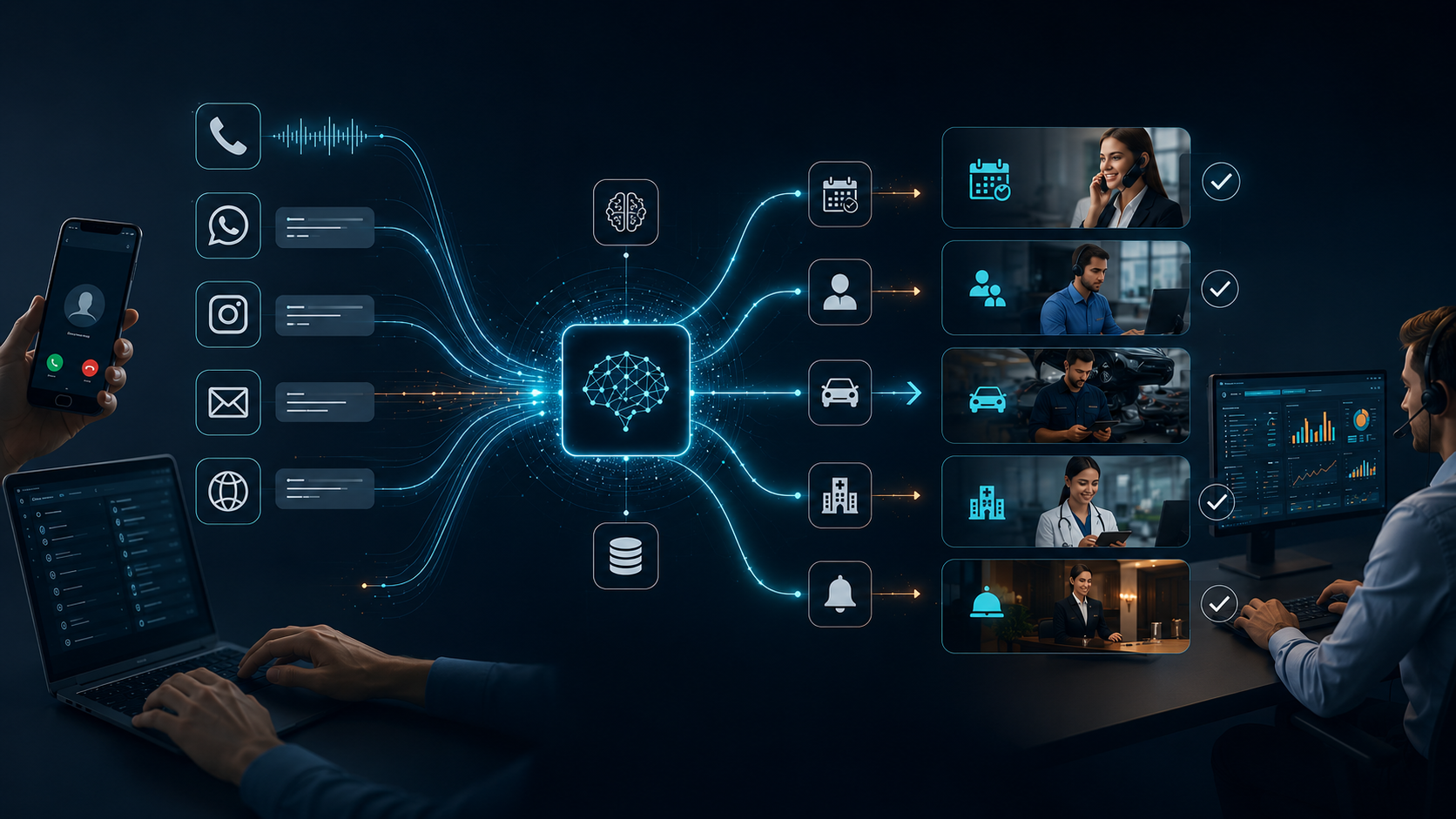 Request → Routing → Result
PRODUCT LINE 02
AI Agent & Operations Automation
Handle requests, manage processes, move your teams to action. Phone, message, appointment — manage every channel with a single intelligence.
- Voice AI Agent — phone answering
- WhatsApp, Instagram, email management
- Appointments, reservations and reminders
- Sim.ai-based multi-stage intent analysis and CRM records
- Team routing and handoff automation
- Operational KPI and performance analytics
How It Works
See the Data. Clarify the Decision.
Put Operations into Action.
- 01
Data Collection
Satellite, drone, aerial photo
- 02
Image Processing
Orthophoto, point cloud, 3D
- 03
AI / GeoAI Analysis
Detection, segmentation, change
- 04
Digital Model & Report
Digital twin, map layer
- 05
Decision & Field Action
Reports, tasks, integration
- 01
Request Intake
Phone, WhatsApp, web, email
- 02
Intent Analysis
Understanding and classification with LLM
- 03
Information Gathering
Questions, verification, data retrieval
- 04
Record / Appointment / Routing
CRM, calendar, team notification
- 05
Follow-up & Performance
Reminders, KPI, reporting
Solution Areas
Different Operations, the Same Intelligence Backbone.
Spatial Intelligence and AI Agent products are configured for each sector's operational problem and taken to the field.
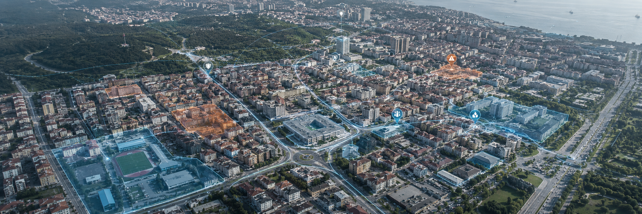
Smart City & Public Operations
Municipalities cannot quickly detect illegal construction, disaster damage and infrastructure deterioration with traditional methods.
Operational Outcome
Daily scanning, damage detection and zoning reports are generated automatically.
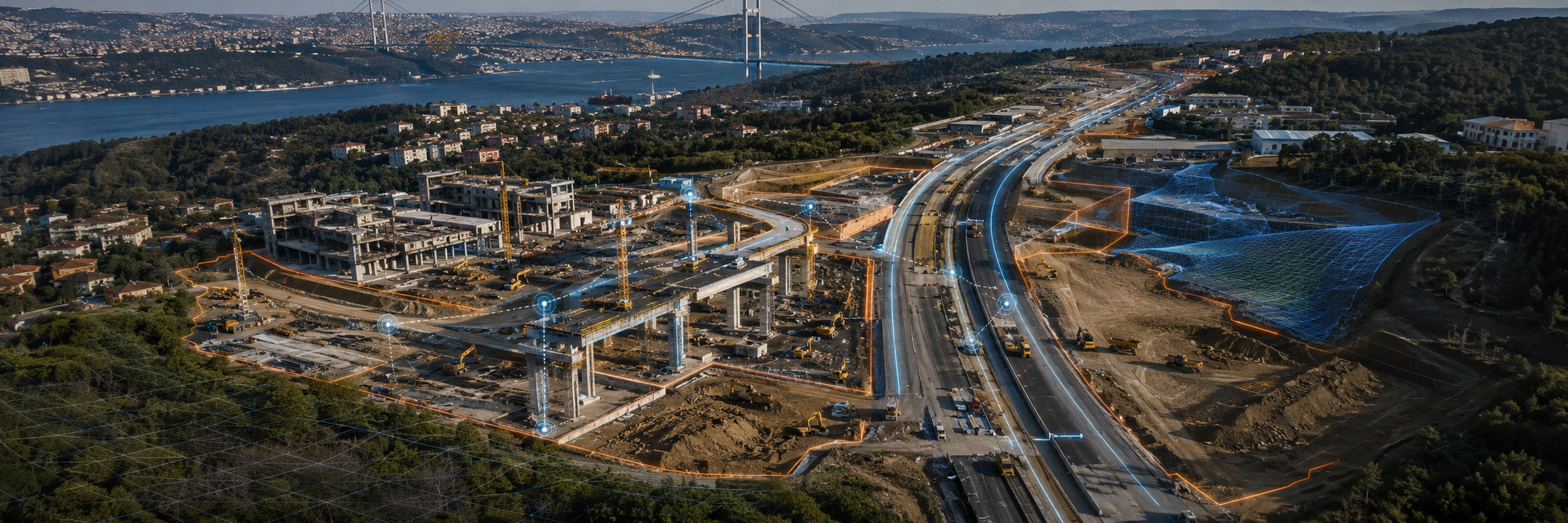
Construction & Infrastructure Intelligence
Site progress, BIM deviations and safety risks are noticed too late; volume errors inflate costs.
Operational Outcome
Weekly automatic progress reports, cut-fill analysis with ±1cm accuracy, safety-breach alerts.
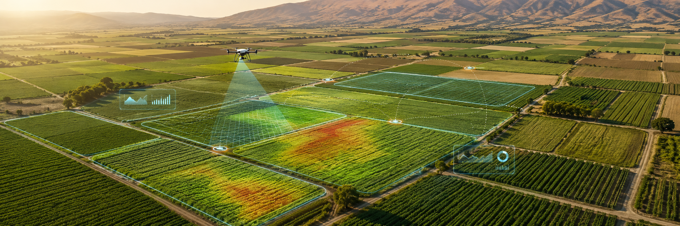
Smart Sustainable Agriculture
Season decisions rely on guesswork; water, fertilizer and pesticides are overused. With farming-in-your-pocket, the whole field is always at your fingertips.
Operational Outcome
Daily NDVI and water-stress maps, a GDD-based season calendar and instant risk alerts through the mobile app (AgroVech).
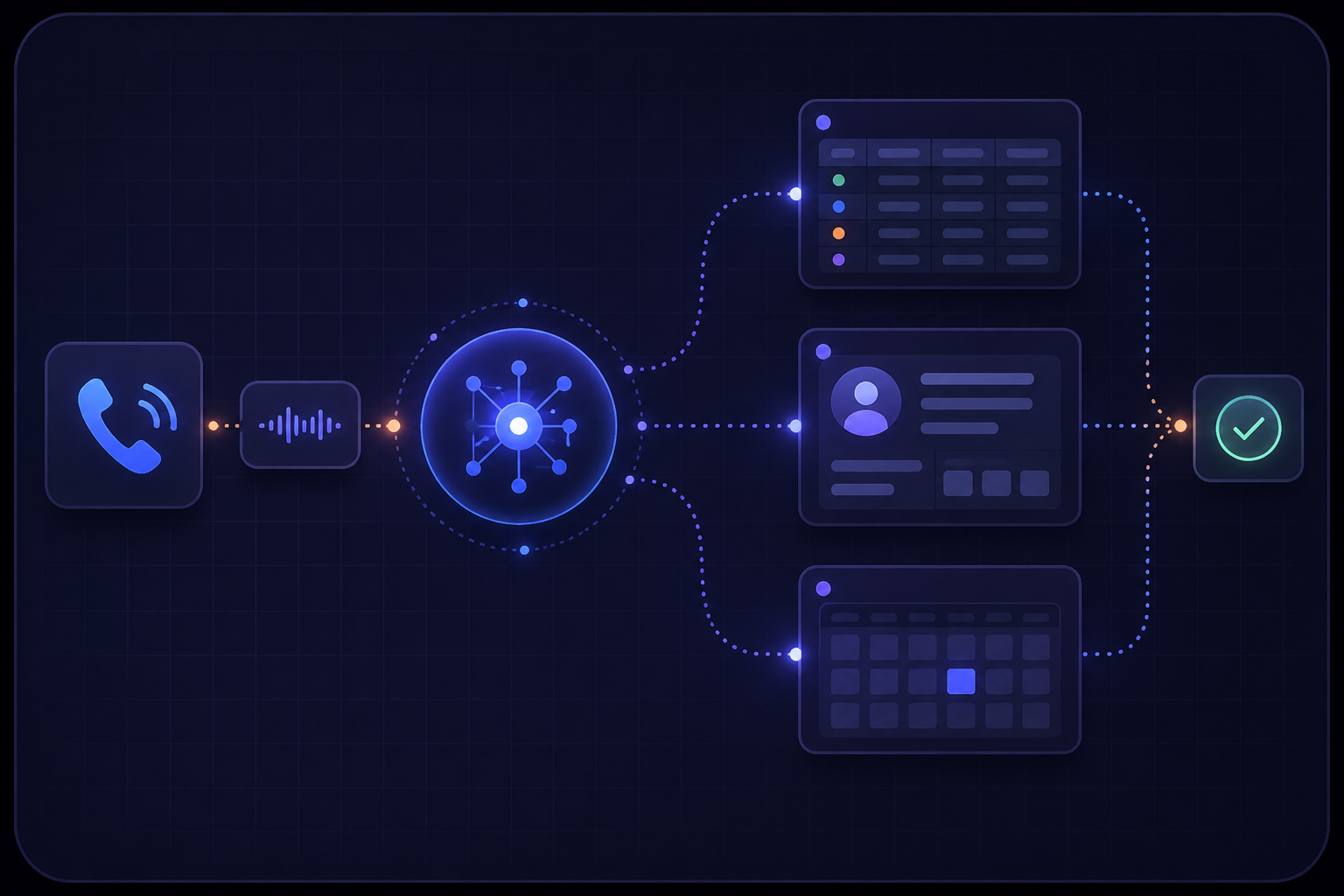
Operations Automation
AI agents that manage calls, messages, appointments and workflows 24/7 — configured for your sector.
Sectors
Don't see your sector?
A pilot project with Vechür technologies can be run in healthcare, logistics, finance, retail and many more sectors.
Let's TalkTechnology Infrastructure
Not Just Data, Infrastructure That Produces Decisions.
A four-layer technology backbone from data source to final output. It integrates with the organization's existing systems and requires no build from scratch.
Data Sources
- Satellite imagery
- Drone and aerial imagery
- Phone and messaging
- CRM and reservation systems
- Field and IoT data
Analysis Layer
- GeoAI and computer vision
- Voice AI and LLM understanding
- Workflow orchestration
- Photogrammetry and 3D
- Change and anomaly detection
Integration Layer
- GIS systems
- CRM and ERP integration
- Reservation platforms
- Call center infrastructure
- In-house dashboard
Output Layer
- Map and detection list
- Technical report and PDF
- Appointment and record
- KPI and performance screen
- Alarm and task notification
Technical Capacity
Deployment Models
The Right Deployment Model
for Your Organization.
From pilot project to enterprise integration — we determine the right starting point together, based on your organization's maturity and goals.
Pilot Project
A verifiable starting effort on a limited site, process or channel. Low risk, concrete output.
A specific process or region is selected. Operational value is demonstrated quickly.
Managed Operation
Vechür manages data collection, analysis, operations and reporting end to end.
Your team receives the results. The operational load stays with Vechür.
Enterprise Integration
Vechür products integrate with CRM, ERP, GIS, reservation, call center and in-house systems.
It connects to your existing infrastructure. No build from scratch required.
Platform Access
Infrastructure that your team uses continuously via web, mobile or dashboard is set up.
Your team manages it in-house. Vechür provides technical support and updates.
Not sure which model is the right starting point?
Let's assess it together and choose the most suitable approach.
Ecosystem
The Vechür Ecosystem
Independent brands powered by Vechür's technology infrastructure — each specialized in its own field and serving through a separate website.
Vechür Ecosystem Brand
Agrovech
Smart Agriculture Management System
Satellite, drone, AI and field decision support in agriculture.
Go to external siteVechür Ecosystem Brand
Skyvech
Remote Sensing & Geospatial Intelligence
Remote sensing, geospatial data analysis and visual intelligence.
Go to external siteVechür Ecosystem Brand
Alovech AI
AI Assistant & Operations Automation
AI assistants, appointments and operations automation.
ExploreVechür Ecosystem Brand
Vechür AI Academy
Drone & Artificial Intelligence Education
Drone, coding, aviation and artificial intelligence education.
ExploreThese brands are positioned as independent brands within Vechür Havacılık They operate through their own websites, independently of Vechür products or solutions.
Let's Begin
Turn Your Operation into a Measurable Intelligence System.
Get in touch with us for a pilot project, demo or technical assessment. Let's determine the right starting point together.
Send Email