
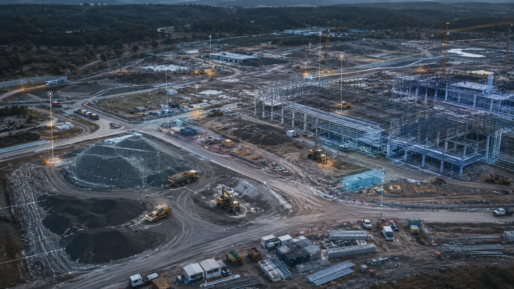
Measure the site's reality to ±1 cm
Manage the site in real time with photogrammetry, BIM integration and AI safety analysis. From cut-fill volume to progress tracking, from PPE checks to deviation detection — one platform, zero surprises.
The site's reality, in one panel
Every week the drone scans the site; volume, progress, deviation and safety come together in one panel. The project manager works from the same data as the teams — without setting foot on site.
- +99% site coverage with weekly scans
- +Planned vs. actual progress at a glance
- +As-built deviation visible before construction ends
- +Time-stamped archive and before/after comparison
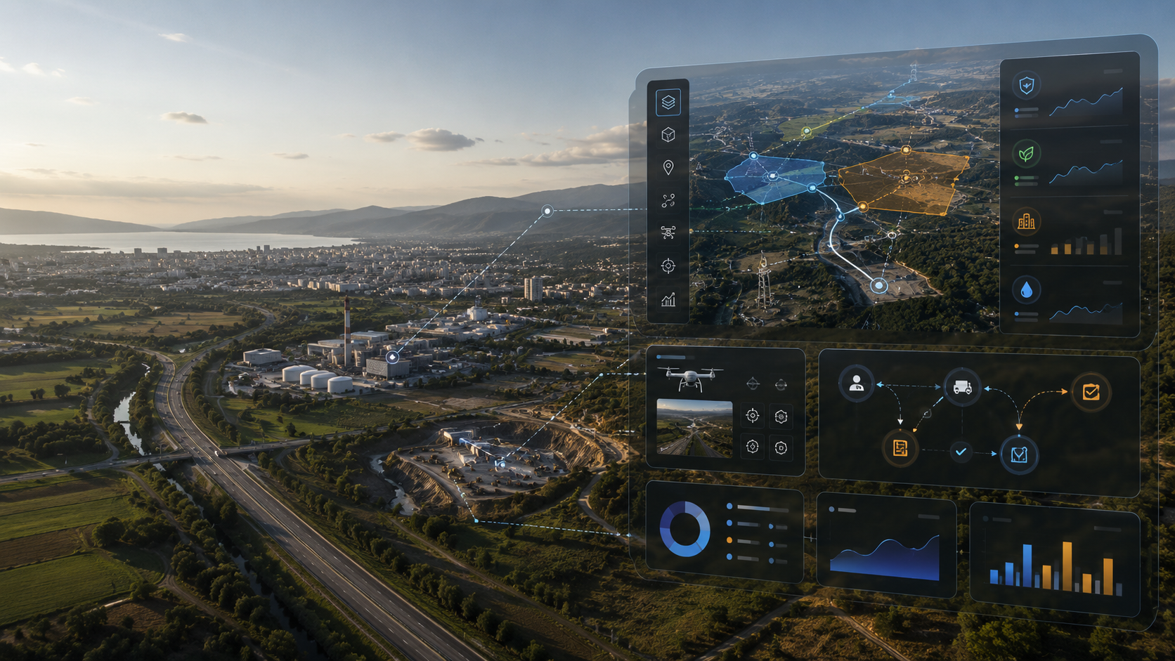 SITE · ±1 CM RTK
Four site-intelligence capabilities
From measurement to safety, from BIM to progress tracking — every process runs on the same data layer.
Topography & Volume
RTK Photogrammetry- +Elevation model (DSM/DTM) at ±1 cm accuracy
- +Cut-fill volume calculation, 99%+ accuracy
- +Slope map and soil analysis
- +Weekly/monthly comparison and progress tracking
- +PDF + GeoTIFF output
Progress Tracking
Before / After- +99% coverage with weekly drone scans
- +Before/after visual comparison
- +Planned vs. actual progress variance analysis
- +Early-warning system for delays
- +Summary report for the project manager
BIM Integration
As-Built / As-Designed- +Overlaying drone data onto the BIM model
- +As-built vs. as-designed deviation detection
- +Dimensional verification at 12 mm accuracy
- +Clash detection
- +Revit / IFC format support
AI Safety Auditing
YOLO AI- +Hardhat and vest compliance auditing
- +Automated vehicle and equipment counting
- +Storage area occupancy analysis
- +Nighttime thermal camera patrol
- +Violation alerts: instant WhatsApp / SMS
Every cubic meter measured
Drone photogrammetry produces surface (DSM) and terrain (DTM) models of the site to ±1 cm accuracy. Cut-fill volume, slope map and soil balance are computed in a single scan — delivered as georeferenced GeoTIFF and PDF.
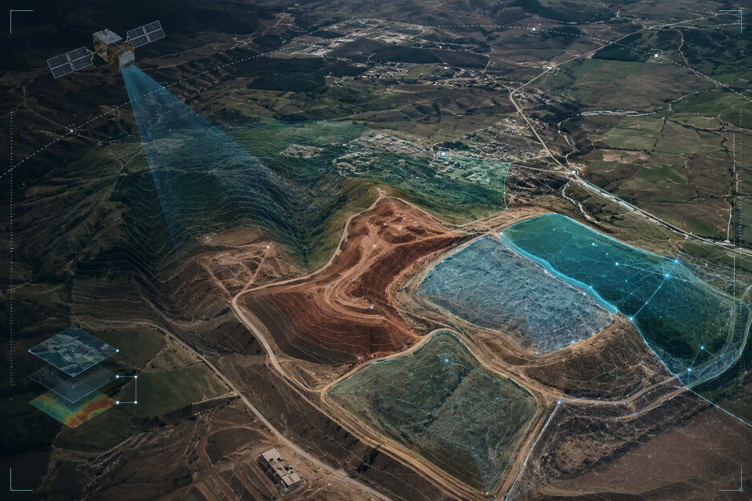 VOLUME · CUT-FILL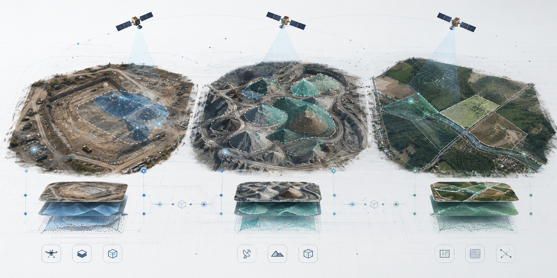
10× beyond the industry standard
Commercial-grade RTK drone + thermal camera + LiDAR. It completes in hours — at higher accuracy — what takes a total station days.
- Time to survey 1,000 m² 2–3 days2–3 hours
- Annual operating cost ~₺400k~₺60k
- Accuracy ±30 cm±1 cm
- Scan frequency 1–2 per yearWeekly
See the violation before it happens
Cameras continuously audit hardhat, vest, unauthorized entry and equipment compliance. The moment a violation occurs, the site supervisor gets an instant alert — prevention, not accident.
- 09:42BLOCK-AMissing hardhatVIOLATION
- 10:15BLOCK-CVest compliantCOMPLIANT
- 11:03GATE-2Unauthorized vehicleVIOLATION
- 11:38YARD-1Patrol scanCLEAR
Savings per project
Cost of the on-site survey crew.
Hours instead of days.
Thanks to early BIM-deviation detection.
On total project cost.
Digital archive
All scan data is stored georeferenced in the cloud; you can return to any date and compare.
Rework prevention
BIM-deviation detection catches errors before construction ends; demolition–rebuild cost is zero.
Remote management
The project manager monitors and reports on the entire site from the panel, without going on site.
Let's
Work Together
Share your project and needs, and we'll offer you a tailored solution.