
Zero Human Intervention — 24/7 Autonomous Aerial Operations
A dock station permanently installed on site launches the drone, runs the mission, brings it back down and recharges it automatically. Multiple flights a day happen with no pilot; the data collected flows straight into the processing pipeline.
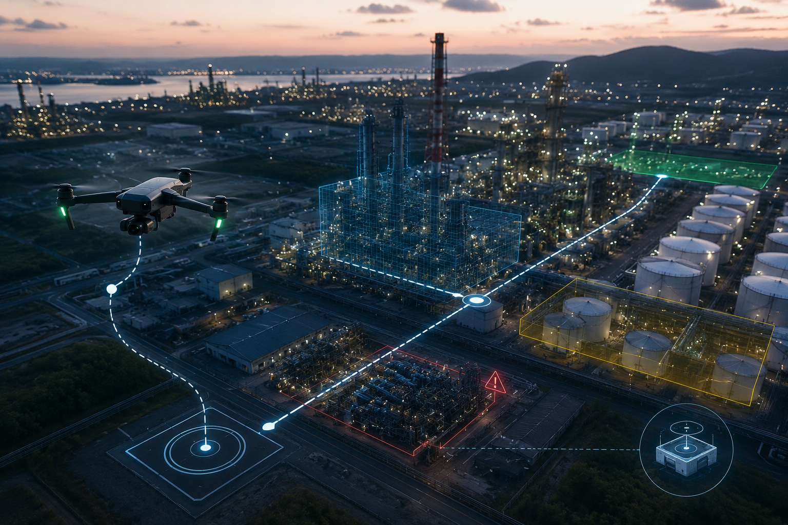 AUTONOMOUS DRONE · DOCK + FLIGHT
How the Autonomous Operation Loop Works
- 01 / 04
Mission Planning
Flight route, altitude, photo-overlap ratio and trigger conditions are defined from a central console.
- 02 / 04
Autonomous Takeoff
At the scheduled time, or when a trigger condition is met, the dock lid opens and the drone takes off automatically.
- 03 / 04
Data Collection & Transfer
The drone streams live data over 5G/4G while flying; once the mission completes, the full payload is uploaded.
- 04 / 04
Landing, Charging & Reporting
The drone lands back in the dock automatically and the charge cycle begins; processed data is forwarded to the reporting system.
Core System Capabilities
Autonomous operation makes intensive data-collection programs sustainable and scalable.
Scheduled Mission Management
Daily, weekly or event-based flight missions are programmed from a central console.
- +Cron-like scheduling engine
- +Weather-based deferral/cancellation
- +Mission logs and past-flight archive
- +Alarm and notification integration
RTK-Precise Navigation
RTK linked to a fixed reference station keeps positional repeatability at the centimeter level.
- +Horizontal ±1 cm, vertical ±2 cm accuracy
- +Route repeatability < 3 cm
- +GNSS signal-loss safety mode
- +Multi-frequency satellite support
Real-Time Data Transfer
Raw and processed data stream to the cloud during flight over 5G or 4G LTE.
- +Live video feed during flight
- +Automatic full-data upload after the mission
- +Bandwidth-priority management
- +Encrypted transfer with verification signature
Dock Station & Autonomous Charging
A dock permanently installed on site protects the drone from the elements and recharges it automatically.
- +Automatic open-close roof
- +Temperature-managed fast charging
- +Battery-health monitoring
- +Remote status-monitoring panel
Weather Resistance
Dust and water sealing for uninterrupted operation across a wide temperature range.
- +IP55 dust and water protection
- +Operation from −20°C to +50°C
- +30 m/s wind limit
- +Auto-resume after adverse-weather delay
BVLOS-Ready Infrastructure
Technical infrastructure suited to projects requiring beyond-visual-line-of-sight authorization.
- +ADS-B collision-avoidance system
- +Remote ID support
- +Telemetry logging and flight logs
- +Regulatory reporting format
Which Operations Is It Suited For?
City-Wide Periodic Scanning
Stations placed at rotating points within municipal boundaries scan overlapping areas on a weekly cadence. Zoning and environmental-inspection data is generated automatically.
Critical Line & Facility Monitoring
Regular visual inspection along power-transmission lines, pipelines or industrial facilities. Cold- and hot-spot detection.
Weekly Construction Archive
A flight on a fixed route every week, with same-day processed orthophotos and a progress report. Human time near zero.