
Digital Terrain Measurement — Orthophoto, DSM, Volume
Point clouds and surface models generated from RTK-positioned drone flights complete cut-and-fill balance, stockpile volume and elevation-profile analysis within hours. Work that takes weeks with a traditional total station drops to a few hours.
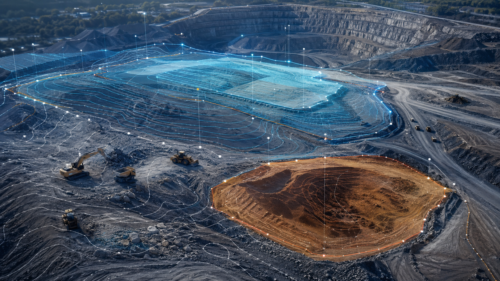 TOPOGRAPHY · DSM + VOLUME
How the Terrain Is Measured
- 01 / 04
Flight & GCPs
An RTK-integrated drone, calibrated against ground control points placed on the terrain, flies a planned grid route.
- 02 / 04
Point Cloud Generation
Overlapping photos are processed with photogrammetry software, yielding a dense point cloud of millions of 3D data points.
- 03 / 04
Surface Model (DSM/DTM)
Digital surface and terrain models are derived from the point cloud; grid resolution is tuned to your needs.
- 04 / 04
Analysis & Reporting
Volume, cut-and-fill, slope and contour lines are computed; a technical report and, where required, a registration file are produced.
What Outputs Are Produced?
All outputs are delivered in formats compatible with standard CAD / GIS software.
Orthophoto Production
A geometrically corrected, true-to-scale aerial photo mosaic.
- +2 cm – 5 cm GSD resolution
- +Color balancing and mosaicking
- +GeoTIFF / ECW format
- +Digital archive and time-stamped updates
DSM and DTM
Surface models (including buildings/vegetation) and bare-earth terrain models.
- +Selectable grid resolution (1–10 cm)
- +Contour (isoline) extraction
- +ASCII Grid / GeoTIFF / LAS
- +Hydrological flow-analysis support
Point Cloud
Raw and classified 3D point data, separating ground, buildings and vegetation.
- +LAS / LAZ format
- +Density: 50–500 points/m²
- +Classification: ground, building, tree, noise
- +Mergeable with LiDAR-flown projects
Cut-and-Fill Analysis
Automatic calculation of the volume difference between two models.
- +Net cut and net fill volume
- +Difference-map visualization
- +Material balance table
- +Construction-progress comparison
Stockpile Volume
Volume measurement of material piles at a quarry, mine, shipyard or logistics site.
- +Reference-plane-based calculation
- +Bulk density conversion (t/m³)
- +Periodic reporting
- +Standard error estimation
Technical Report & Registration
Turning project outputs into official reports and, where needed, a registration file.
- +Horizontal / vertical accuracy certificate
- +GCP coordinate table
- +Surveying-registration format
- +PDF and digital-signature support
Where It's Used
Construction Volume Tracking
Baseline topography on day one, cut-and-fill difference every month. Earthworks contract control and ground certification.
Stock & Production Measurement
Monthly periodic drone flights track stockpile volume change and cumulative production calculation.
Land Inventory
Detailed topographic mapping, slope analysis and infrastructure-route assessment for a new project area.