
From Raw Data to Decision Support.
Engineering-driven, project-based analysis. From terrain maps to AI datasets — a quote the day we scope it, and data delivered by the time the job is done.
5 Analysis Categories
We scope every project from scratch. No standard packages — pricing tailored to your needs.
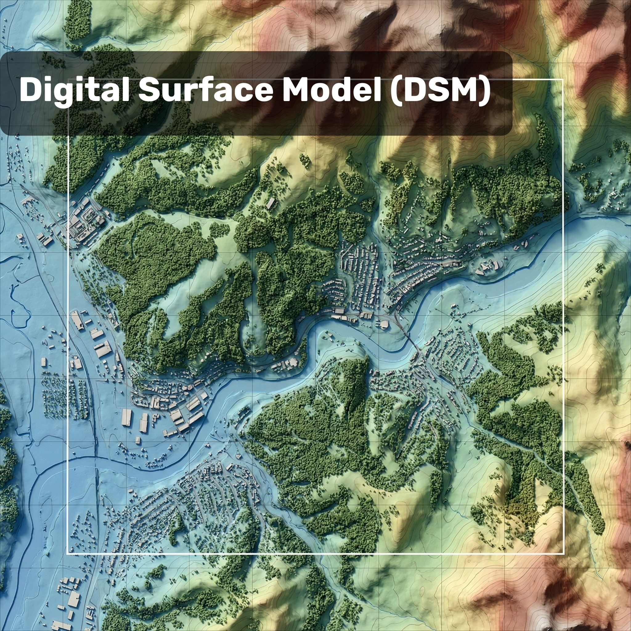
Terrain & Topography Maps
We build a precise digital surface model of your project area.
- Orthophoto (GeoTIFF, <5 cm/px)
- DSM / DTM elevation model
- Slope and aspect map
- Depth model
- Volume calculation report
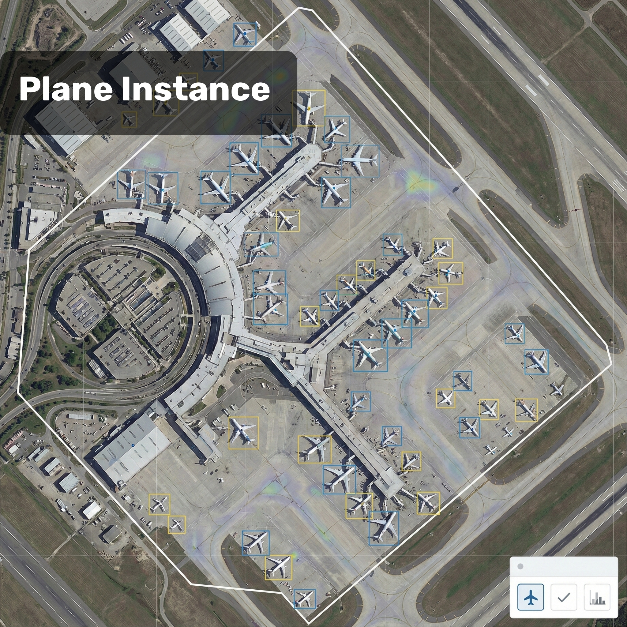
Object Detection & Counting
Automated counting from imagery or video streams with YOLOv8-based AI.
- Vehicle counting (all categories)
- Structure inventory
- Tree and vegetation counting
- Livestock counting (cattle / small ruminants)
- Hard-hat / vest compliance check
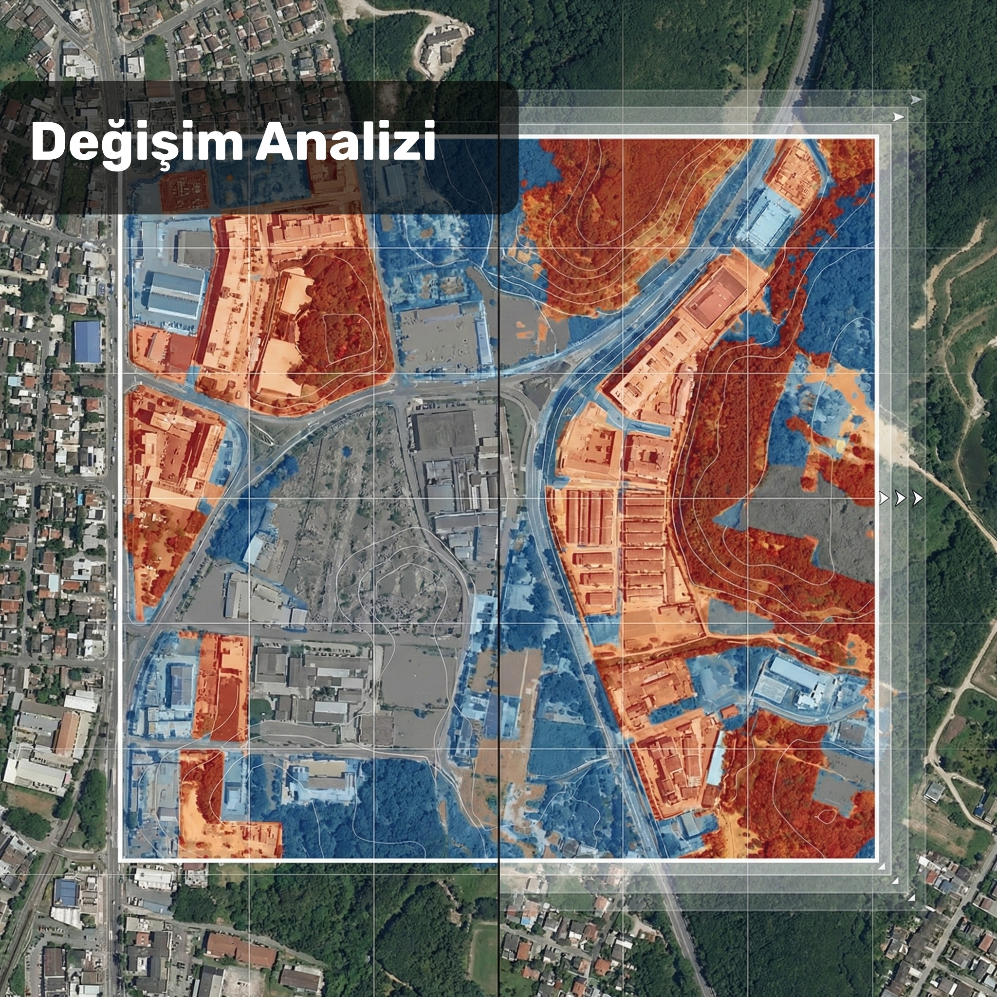
Change Detection
Compare imagery from two different dates at the pixel level.
- Multi-temporal orthophoto comparison
- Pixel-level change mask
- Changed surface area calculation
- Trend analysis (multi-period)
- Unauthorized construction / land-change report
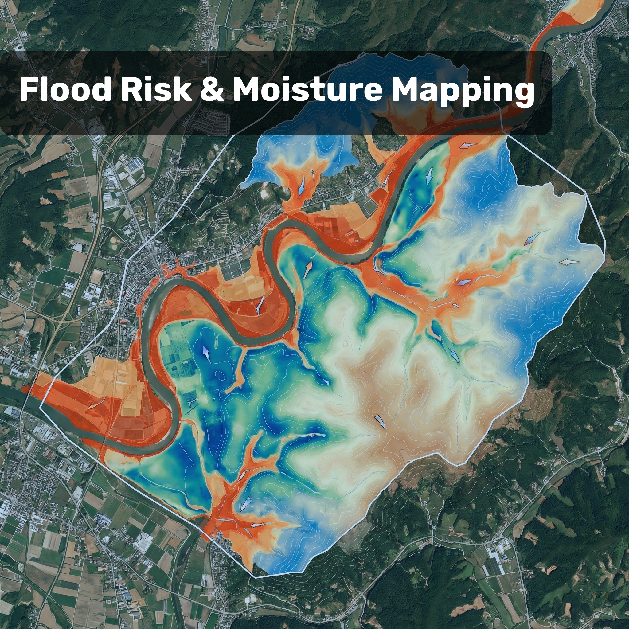
Water & Risk Analysis
Map water resources, flood risk and signs of drought.
- NDWI water index map
- Flood simulation (DEM-based)
- Streambed change detection
- Drought risk map
- Wetland inventory
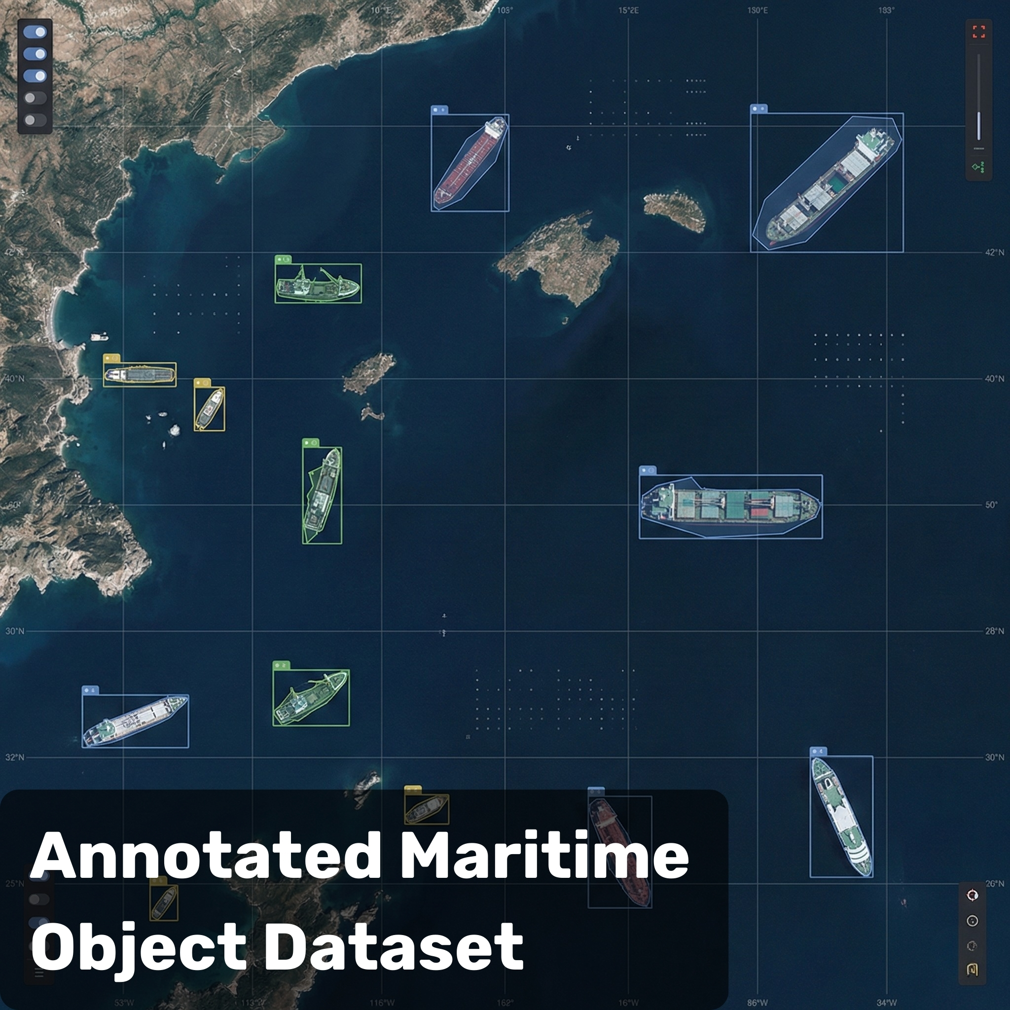
AI Training Dataset
Labeled, georeferenced dataset production for ML/DL projects.
- Labeled orthophoto (COCO format)
- Bounding box annotation
- Segmentation mask (polygon)
- Multi-class classification
- Data augmentation support
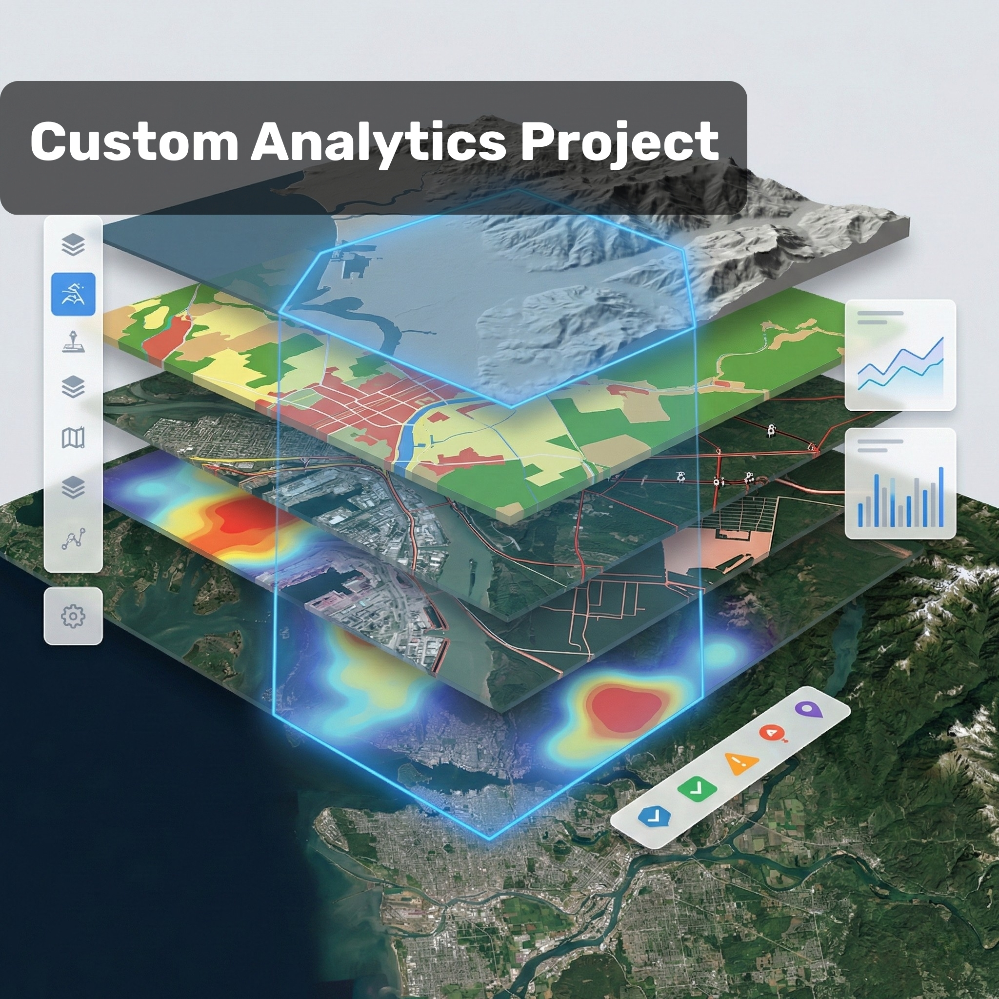
A Custom Project?
If you have a need that isn't on the list, tell us about it. We'll assess technical feasibility and get back to you.
Let's TalkReal Analysis Outputs
Every one is produced specifically for the project scope. Examples of what we deliver — each georeferenced, measurable and compatible with your software.
Delivery in 4 Steps
Needs Analysis
Over WhatsApp or a form, we define the project scope, area size, output format and delivery timeline.
Data Collection
We run the field survey using drone, satellite or a multi-sensor combination, chosen to fit the project.
Analysis & Processing
Pix4D / OpenDroneMap photogrammetry plus custom AI models turn raw data into meaningful outputs.
Output Delivery
GeoTIFF, KMZ, PDF report, shapefile or an annotated dataset — delivered in the format best suited to the project.
Outputs Compatible With Your Software
QGIS, ArcGIS, AutoCAD, Revit, Python — whatever tool you work with, we deliver a compatible format.
Get a Quote for Your Project
Share the area size, output format and delivery timeline — we send a quote the same day.
Or skyvech.com to fill in the project form.